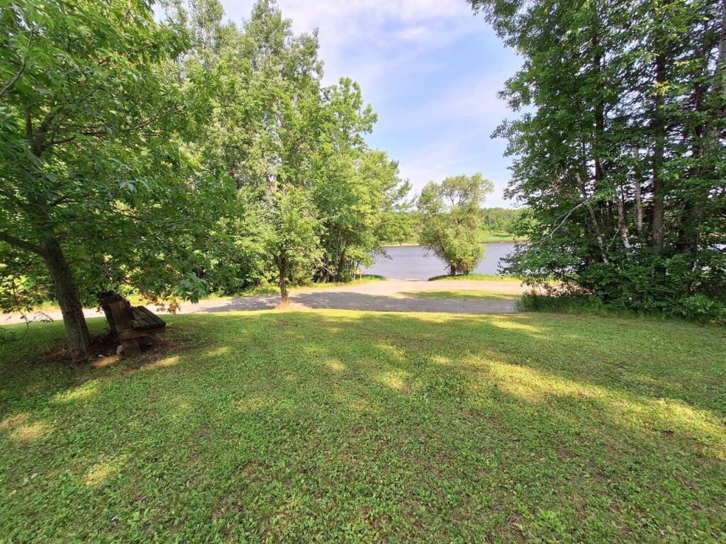
A grassy yard at Upper Sault Access is bordered by tall green trees and overlooks a calm river under a partly cloudy sky, with a dirt path running along the water’s edge. A wooden bench sits in the shade to the left. | Rainy Lake, MN

Upper Sault Access

A grassy yard at Upper Sault Access is bordered by tall green trees and overlooks a calm river under a partly cloudy sky, with a dirt path running along the water’s edge. A wooden bench sits in the shade to the left. | Rainy Lake, MN

Upper Sault Access is a public water access point on the Rainy River near Franz Jevne State Park in northern Minnesota. This access provides a convenient launch area for anglers, boaters, and paddlers looking to explore the Rainy River, known for its scenic views, wildlife, and excellent fishing opportunities.

Location:

Upper Sault Public Water Access
Near Franz Jevne State Park
Koochiching County, MN 56649
Related

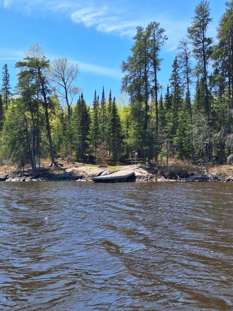
A small rocky shoreline at Bobber Bay is bordered by tall evergreen trees under a blue sky, viewed from across a rippling lake. A canoe is pulled up onto the rocks near the forest edge, hinting at peaceful campsites nearby. | Rainy Lake, MN

Bobber Bay Campsites

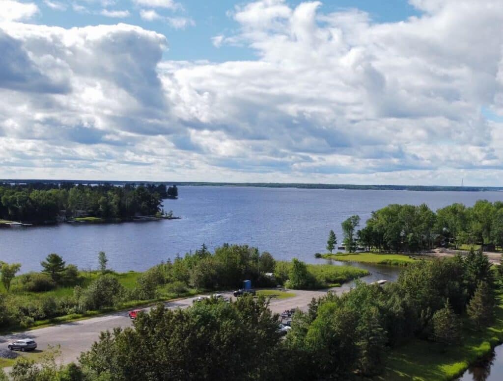
A scenic lakeside view of Rainy Lake in Minnesota, with a partly cloudy sky, trees and greenery along the shore, and a parking lot with several cars in the foreground. | Rainy Lake, MN

Bohman Boat Landing – Rainy Lake

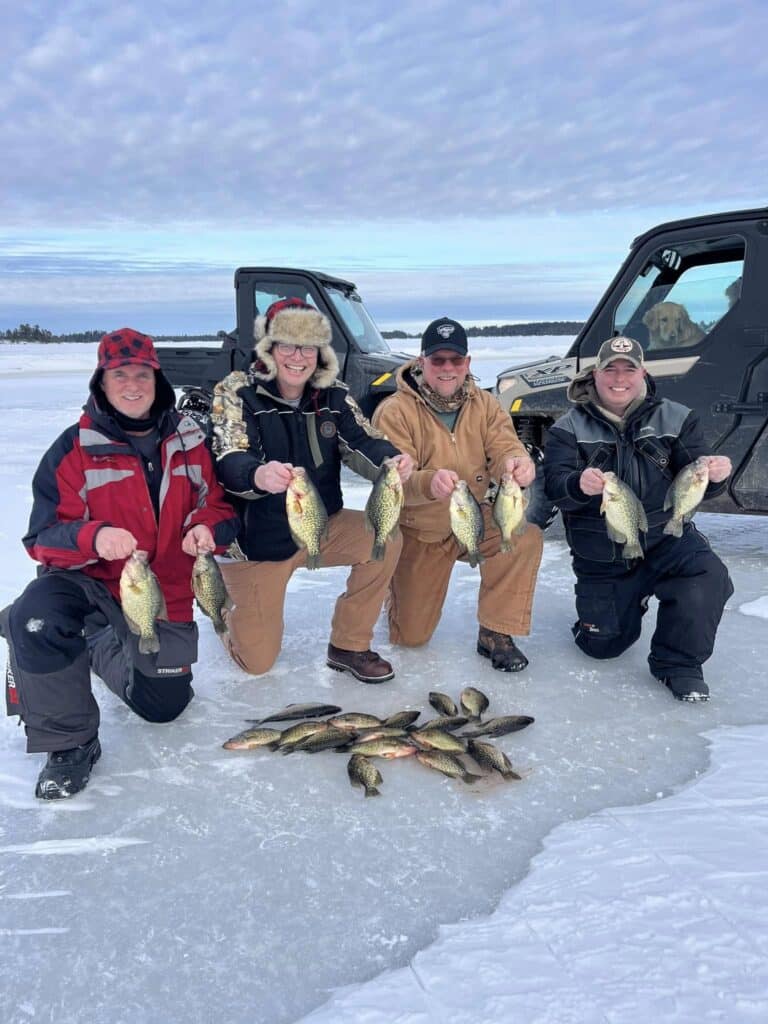
Four people in winter clothing kneel on a frozen Minnesota lake, smiling and holding several fish each. More fish are arranged on the ice in front of them, with two off-road vehicles parked nearby—an unforgettable day on Rainy Lake. | Rainy Lake, MN

Border Country Outdoor Adventures

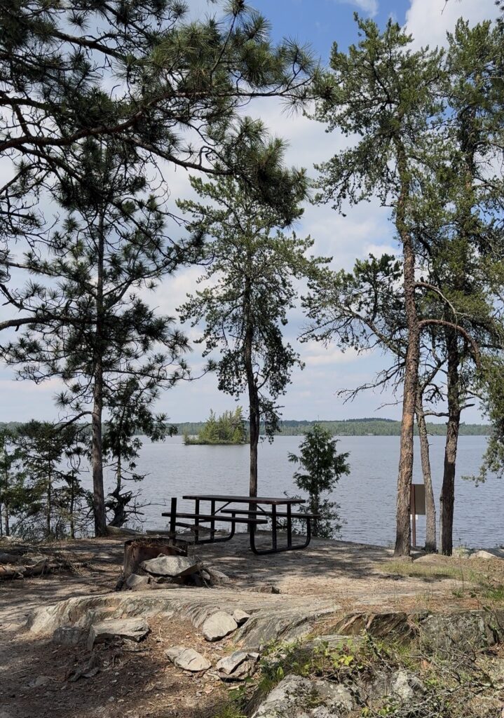
A picnic table sits on a rocky, wooded shore overlooking Minnesota’s calm Rainy Lake, surrounded by tall pine trees under a partly cloudy sky. In the distance, small tree-covered islands are visible on the water. | Rainy Lake, MN

Camping in Voyageurs

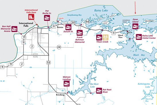
Map showing International Falls, Minnesota, Rainy Lake, and surrounding area with labeled landmarks such as the International Falls Dam, Dove Island, Rainy Lake Visitor Center, and notable roadways, parks, and waterways. | Rainy Lake, MN

Dove Island Boat Access – Rainy Lake

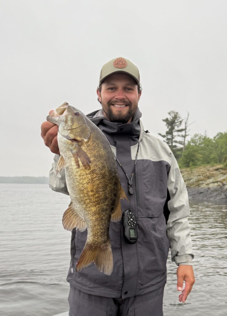
A man in a gray rain jacket and cap smiles while holding a large fish by the water at Rainy Lake, Minnesota, with trees and rocks visible in the background under an overcast sky. | Rainy Lake, MN

Dove Island Guiding

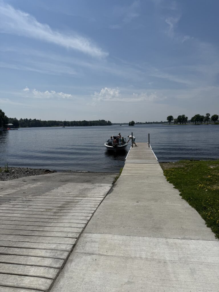
A concrete dock leads to a small boat with people on it, floating on Minnesota’s Rainy Lake under a blue sky with some clouds. Trees line the horizon in the background. | Rainy Lake, MN

Duluth St. Dock & Boat Landing – Rainy Lake

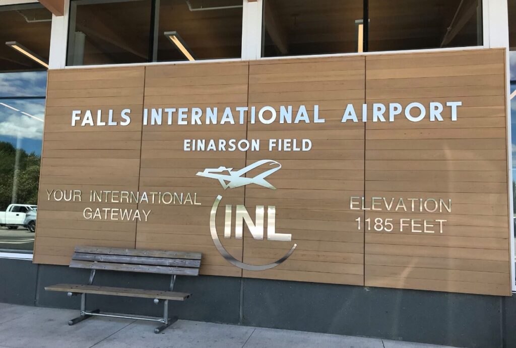
A wooden wall outside Falls International Airport in Minnesota displays large white letters reading “Falls International Airport, Einarson Field, Your International Gateway, Elevation 1185 feet,” with an airplane graphic and a bench below—near scenic Rainy Lake. | Rainy Lake, MN

Falls International Airport

Map of northern Minnesota highlighting Rainy Lake, nearby towns, roads, county lines, park locations, fishing areas, campgrounds, and various access points along the lake—including docks, boat ramps, and visitor centers. | Rainy Lake, MN

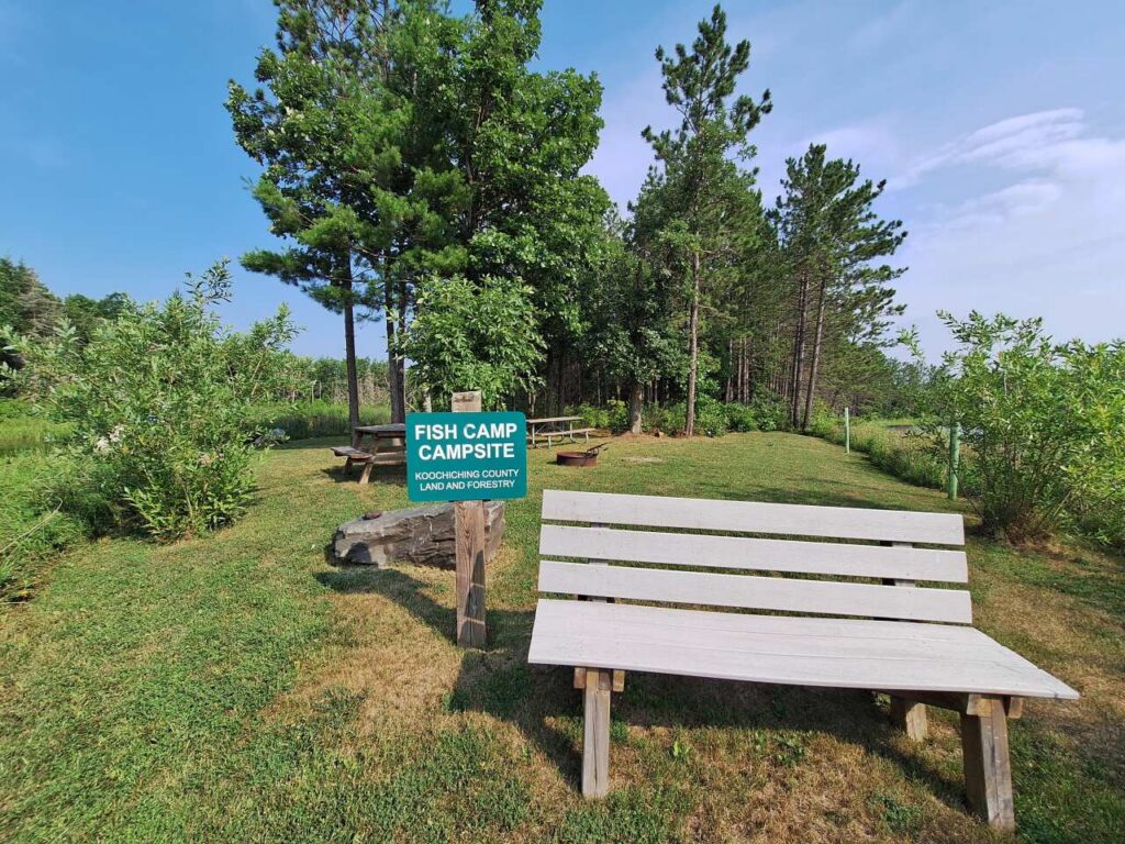
Fish Camp Campsite