Map of Voyageurs National Park and surrounding area in Minnesota, including Rainy Lake, showing snowmobile trails, safety warnings, lodging locations, trailheads, and amenities. Key and legend at the bottom; colored lines indicate routes and trail conditions. | Rainy Lake, MN

Arrowhead State Trail

Map of Voyageurs National Park and surrounding area in Minnesota, including Rainy Lake, showing snowmobile trails, safety warnings, lodging locations, trailheads, and amenities. Key and legend at the bottom; colored lines indicate routes and trail conditions. | Rainy Lake, MN

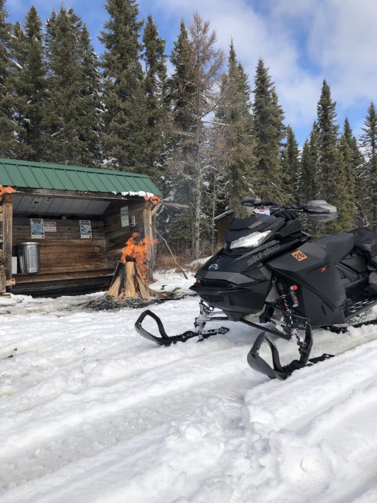
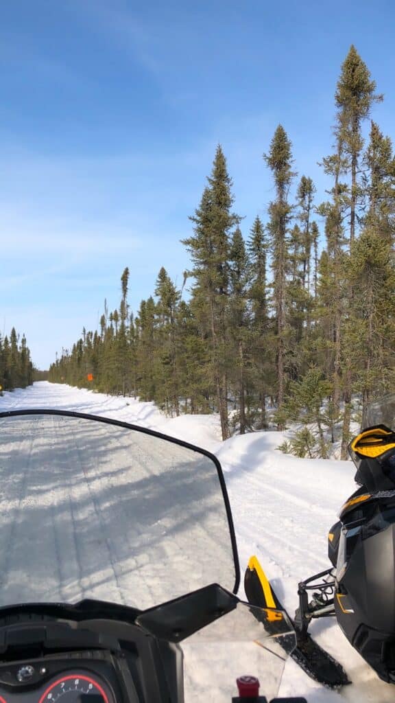
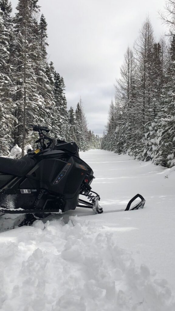
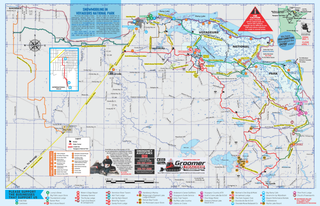
David Dill/Arrowhead State Trail stretches 135 miles from Ericsburg, south of International Falls, to Tower – connecting to Kabetogama, Crane & beyond.

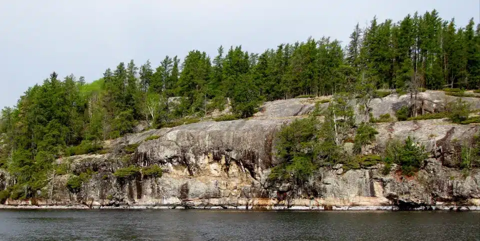
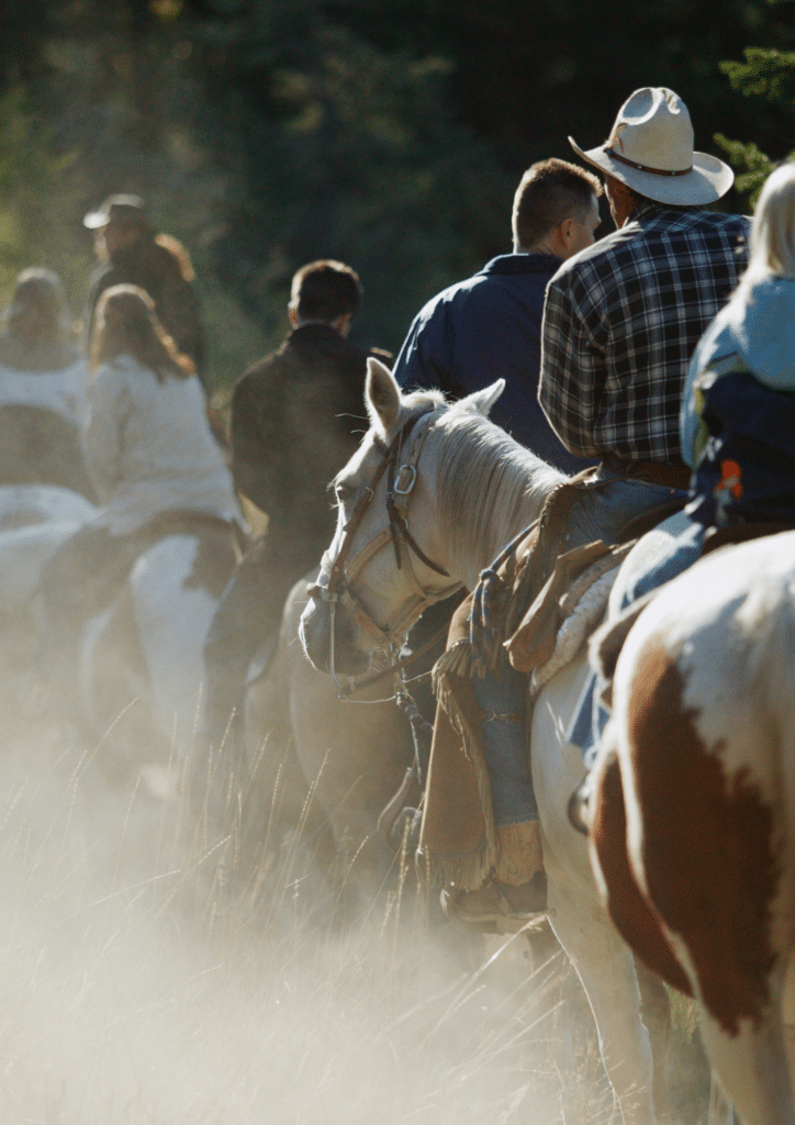
Primarily used for snowmobiling in winter, the trail winds through remote forests and wetlands. In summer, about 69 miles are open to hiking, horseback riding, and mountain biking, though conditions can vary due to standing water. Checking current trail conditions before your trip is recommended.

International Falls to Tower, MN

Related

Exterior of Americas Best Value Inn & Suites motel under a blue sky with clouds. A tall blue sign and marquee reading "The Best Place to Stay for Your Getaway" stand before the two-story Tudor-style Minnesota building near Rainy Lake. | Rainy Lake, MN

America Best Value Inn

A modern four-story AmericInn hotel in Minnesota features blue, white, and tan exterior walls, stone accents, and a red-and-white striped entrance canopy under a clear blue sky near scenic Rainy Lake. Manicured landscaping lines the front. | Rainy Lake, MN

AmericInn by Wyndham

A rocky shoreline covered with green pine trees sits beside the calm waters of Rainy Lake, Minnesota, under a pale sky. | Rainy Lake, MN

Anderson Bay Trail

A large outdoor gathering of people with numerous off-road vehicles parked on a grassy field near Minnesota’s Rainy Lake, surrounded by trees. Several tents and canopies are set up beneath an overcast sky with grey clouds. | Rainy Lake, MN

ATV Voyageur Country Trail System

A group of people ride horses in a line through a sunlit, dusty field near Minnesota’s Rainy Lake, with a cowboy in a plaid shirt and hat in the foreground. Trees and more riders complete the scenic background. | Rainy Lake, MN

Big Falls Horse Camp

A modern wooden cabin with large triangular windows and a wraparound deck sits among autumn trees near Minnesota’s Rainy Lake, surrounded by a green lawn and outdoor seating area. | Rainy Lake, MN

​Black Bay Lodge

A map of Black Bay Skiing and Hiking Trails near Rainy Lake, Minnesota, showing color-coded trails, parking areas, a visitor center, comfort stations, shelter, paddle access points, and a mileage scale. | Rainy Lake, MN

Black Bay Skiing and Beaver Pond Hiking Trail

Trail map of Blue Ox and Alwood/Squaw Lake areas in north-central Minnesota, featuring ATV routes, parking, campsites, picnic spots, service roads, and a map key with navigation tips—ideal for exploring the Rainy Lake region. | Rainy Lake, MN

Blue Ox Trail

A cheeseburger topped with bacon and macaroni and cheese is served with crinkle-cut fries in a basket. Behind it, a Boondocks Bar & Grill sign reflects the welcoming spirit of Minnesota’s Rainy Lake, set on a wooden table. | Rainy Lake, MN

Boondock’s Bar & Grill + RV Campground