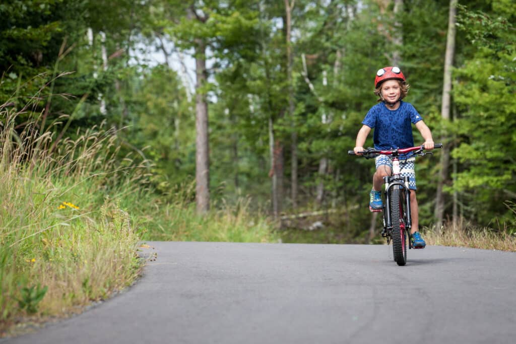
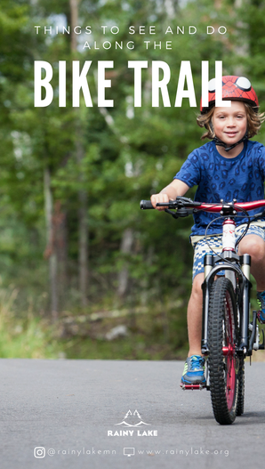
A 12-mile paved trail runs adjacent to Highway 11 from International Falls to the Voyageurs National Park Visitors Center and offers diversions such as ice cream stops, wildlife viewing and even a dip in the lake! 🚴🏻
This trail offers visitors a wonderful experience as it meanders along the park road, into the woods, and around rock outcrops. Bicyclists, walkers, runners, and snowshoers will be treated to views of forest, lake, and marsh scenery.
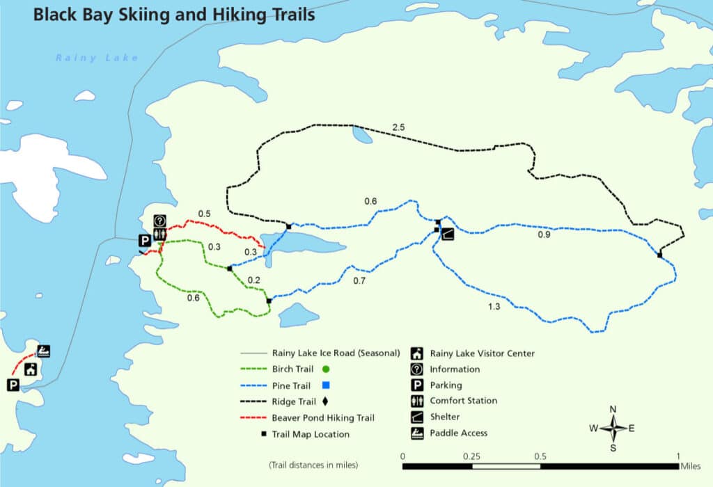
Voyageurs – Rainy Lake Visitor Center portion:
Difficulty: Easy, ADA accessible
Hiking Distance: 1.75 miles
Hiking Time: 1.5 hours, round trip
Winter Use: Snowshoe
Miles 0-3
The trail is located just east of the Convention and Visitors Bureau office (301 2nd Avenue), roughly where highway 53 meets highway 11/71 in downtown International Falls. You can park there to begin your eastward journey. This area of the trail features river views on your left, which overlook the community of Fort Frances, Ontario. Note the paper mill at the falls, as well as the wood chips and logs that are piled along the highway before being sent to the mill. Make a stop at the Voyageurs National Park Headquarters (360 Highway 11), where you can enjoy the river views.
Miles 3-5
Approximately 3 miles east of International Falls is the community of Ranier, marked by a 25-foot statue affectionately known as “Big Vic.” Plan to take time for a detour here. Ranier is a charming village with restaurants, a bar and brewery, as well as an ice cream shop. Chances are good you will see a train, as the Canadian National Railway border crossing in Ranier sees the most railroad cars of any crossing between the U.S. and Canada. This is also where the Rainy Lake flows into the Rainy River, which you can see from the Spruce Street dock. From here, you can either head back to the highway, or bike along County Road 20, which wends through a residential area and past City Beach, where you can cool off with a swim or enjoy a picnic.
Miles 5-7
Here the bike trail merges with highway 11 for a few miles, while the landscape begins to change. You’ll see some of the only farmland – watch for cranes, geese and deer – as well as an unobstructed view of Rainy Lake at the Jackfish Bay Wayside Park. The trail then turns left at County Road 103 to become enveloped in the wooded landscape.
Miles 7-10
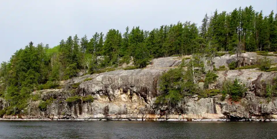
This part of the trail crosses Tilson Bay, where you can see wild rice growing in the wetlands on the right and Rainy Lake to the left. Stop here to rest on the dock or get in some cross training with a trek on the hiking trail.
Miles 10-12
Here the trail is on the shoulder of Highway 11, which challenges bikers with a long, gradual uphill climb before again turning to the left and into the woods. Gradual hills make for a fun, not-too-hard ride, while grouse are known to peak out from the underbrush. At the end of the trail, cross Highway 11 to the Rainy Lake Recreation Trail, a wide, paved path that welcomes runners, walkers and bicyclists. Leading to the entrance of Rainy Lake Visitor Center the 1.75-miles include benches for taking a breather while taking in the views of Rainy Lake.